Time: 8am – 3pm
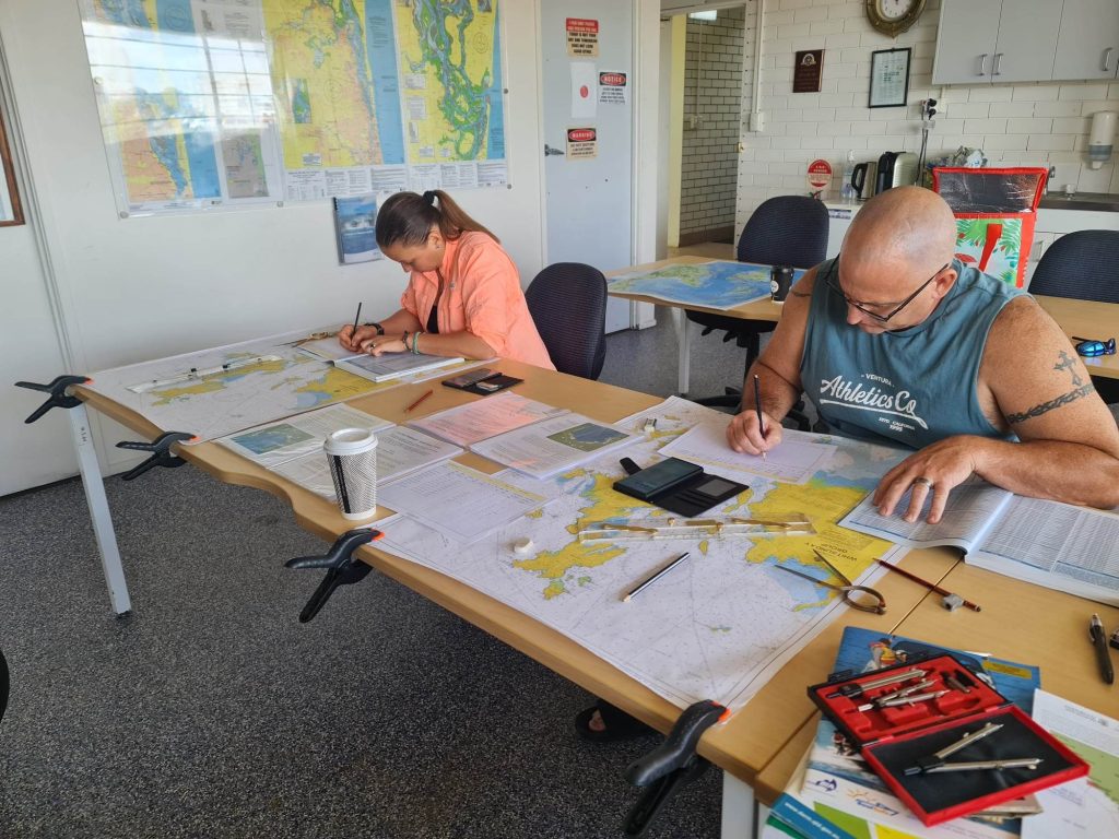
At Nautical Training and Marine Services, we pride ourselves on offering comprehensive training to give our clients the confidence they need through our variety of Navigation courses, which can be tailored to suit boat operators and owner’s dependant on their current experience level and/or area of operation. Our traditional Chart Plotting Navigation Courses run 8am – 3pm.
Area charts used for study may include Gold Coast to Mooloolaba, Sandy Straits, Lady Musgrave and Whitsundays. At the end of our training successful candidates receive a Certificate of Completion which details all activities undertaken.
Insurance companies now diligently request evidence from prospective clients regarding their boat handling and navigation skills, to ensure that boat owners and handlers are better educated prior to taking their larger vessels offshore and on extended journeys.
The navigation courses offered by Nautical Training and Marine Services, and highly regarded for insurance purposes, are offered as:
- ‘Navigation Basics’ – which covers Iala Buoyage System; Chart Features; Latitude and Longitude; Compass True and Magnetic; Compass Bearings; Compass Conversions; Distance Speed Time; Tide Calculations; and Passage Planning
- ‘Navigational Positioning’ – featuring Chart Plotting Shaping a Course; Calculating Set and Drift; and Dead Reckoning Position Fixing, and
- ‘Night Navigation’ – helping sailors to master Night Navigation; Radar Positioning; Radar Plotting; Onboard your vessel – Practical; 3pm – 9pm
- Onboard Practicals
Venue: Australian Volunteer Coast Guard, 171 Marine Parade, Southport
For more information on Navigation Basics Theory and Gold Coast boat licencing and training contact Karla at Nautical Training 0412 550 570.
Chart Plotting Navigation Basics:
- Iala Buoyage System
- Chart Features
- Latitude and Longitude
- Compass True and Magnetic
- Compass Bearings & Conversions
- Distance Speed & Time
- Tide Calculations
- Passage Planning
Chart Plotting Navigation 2 Positioning:
- Dead Reckoning
- Position Lines
- Running Fix
- Calculating Set and Drift
Night Navigation:
- Radar Plotting
- Radar Positioning
- Radar Overlay
- EBL VRM
- MARPA
- AIS
