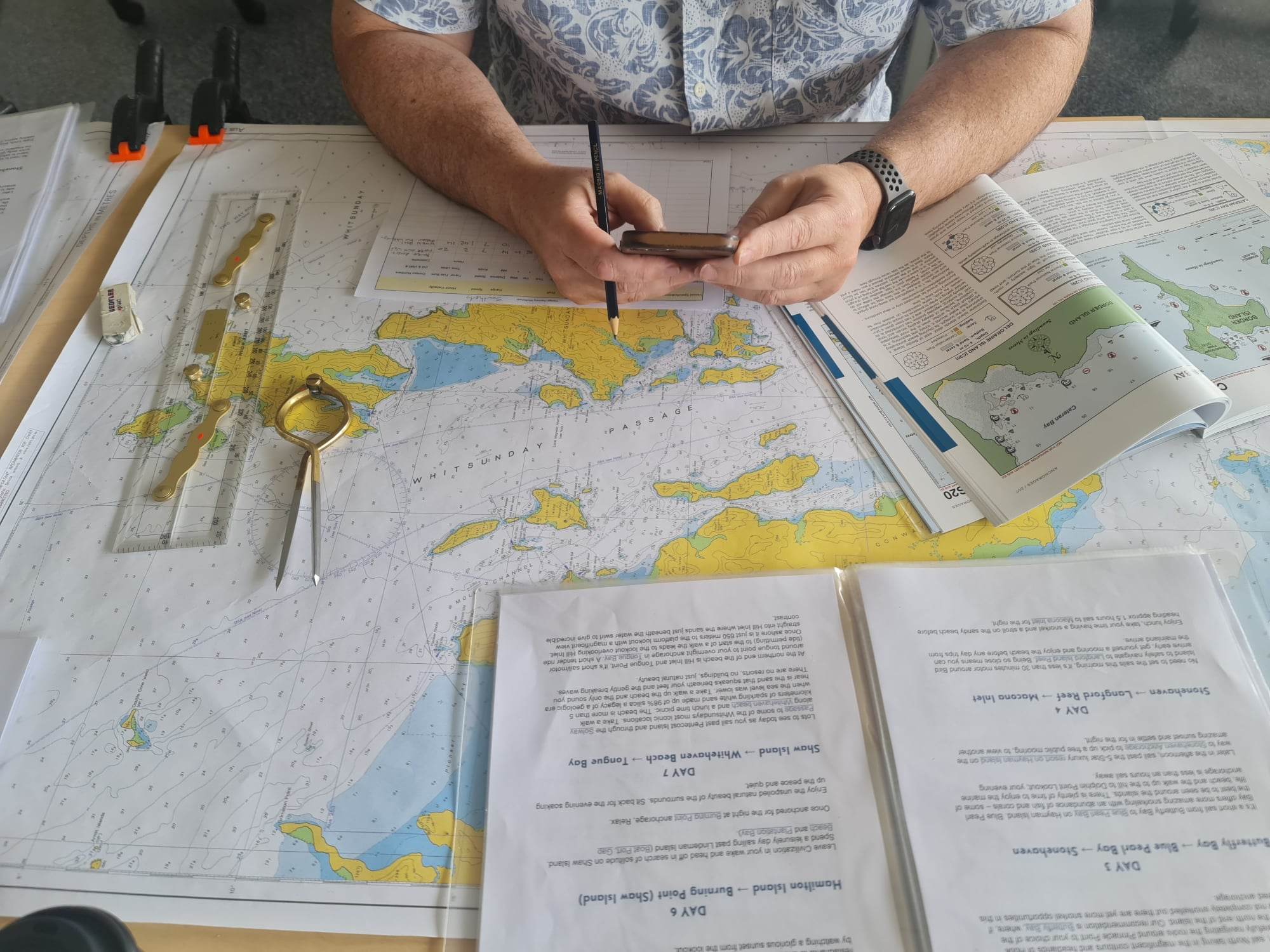
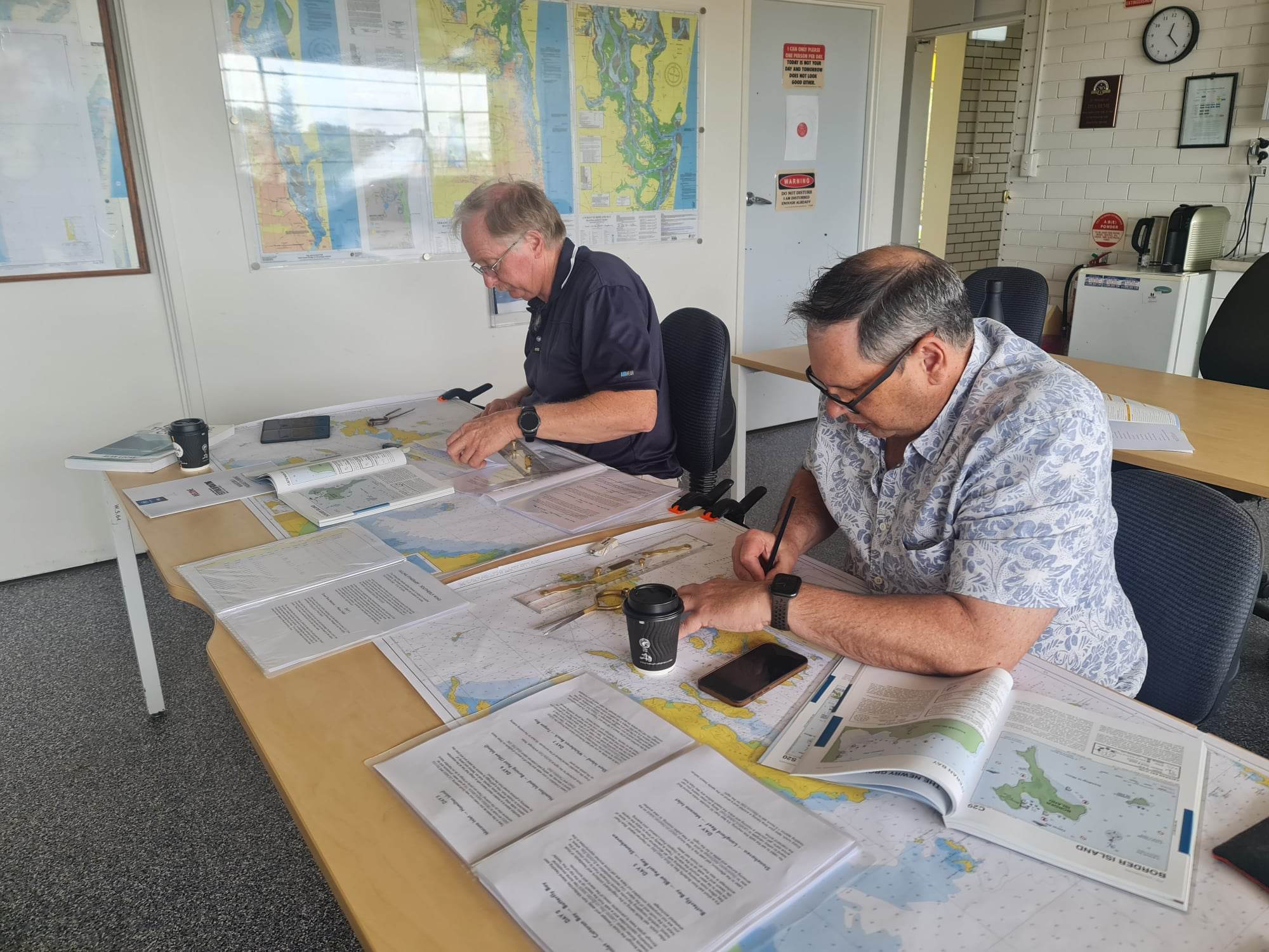
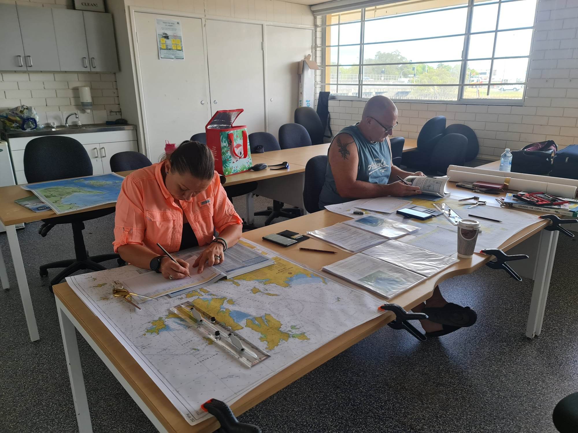
Learn to navigate the Whitsundays, using traditional paper chart plotting techniques, combined with electronic navigational aids.
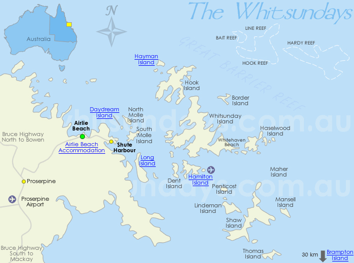
Research the Whitsundays area, considering marina locations, best anchorages and moorings, parks locality maps, facilities and activities guide, reef protection areas, GBRMPA Zoning Map.
Forecasting the prevailing conditions, wind and tidal movement for optimum Passage plan.
Understand:
IALA Buoyage System
Chart Features & Symbols
Latitude & Longitude Coordinates
Compass True & Magnetic
Compass Bearings & Conversions
Calculating Distance Speed & Time
Tide Calculations
Fuel Calculations
Passage Planning
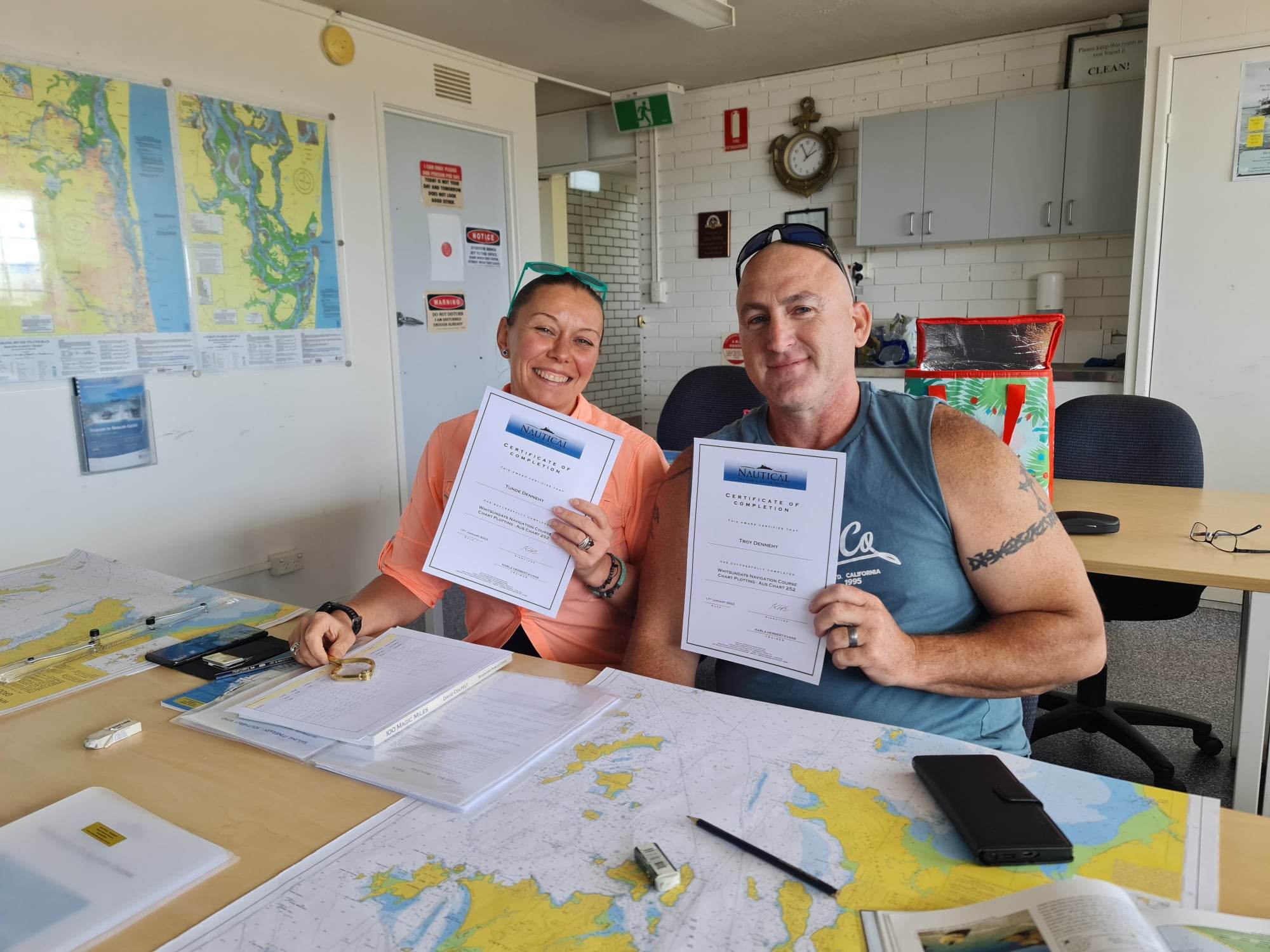
Class numbers: minimum 2 persons, maximum 4 persons.
For those wanting to plan longer distance voyages using traditional paper chart plotting techniques, combined with electronic navigational aids, we also offer:
“Offshore Navigation Course – Gold Coast to Lady Musgrave”
We use cookies to ensure that we give you the best experience on our website. If you continue to use this site we will assume that you are happy with it.Ok